ANA ›
United States ›
Pennsylvania ›
Northampton County
Northampton County, Pennsylvania
At a Glance
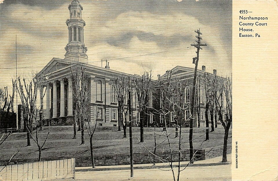
Population 312,951 County Seat Northampton County Courthouse State FIPS 42 County FIPS 095 Num Towns 30 Census-Designated Places 11 Total Town Population 110,868 Census Source Census ACS 5-Year 2022
People & Demographics
Population (official) 314,299 Median Age 41.9 Veterans 16,509 Housing Units 127,724 Uninsured 1,435 Net Migration (recent) 2,709 Growing Yes
Economy & Employment
Total Establishments 6,511 Total Employees 120,054 Avg Annual Pay $60,298 Median Household Income $82,201 Poverty Rate 9.2% Unemployment Rate 4.6% Avg AGI per Return (IRS) $85,539 Federal Spending FY2024 $2,055,388,247 Federal Spending Per Capita $6,568
Housing & Cost of Living
Median Home Value $265,600 Median Rent $1,280 FMR Studio $1,033 FMR 1BR $1,213 FMR 2BR $1,507 FMR 3BR $1,924 FMR 4BR $2,005
Health & Safety
Hospitals 93 EMS Stations 93 Fire Stations 93 Police Stations 93 Adult Smoking 15.9% Adult Obesity 32.3% Overdose Deaths Rate/100k 38.5 Air Quality Good Days 278
Infrastructure
Electricity Price (¢/kWh) 17.77 Electric Customers 5534580 Towns with Broadband Data 31 Towns with 90%+ Coverage 31
Community
Churches 153 Libraries 33 Historic Places (NRHP) 63 Homeless Population N/A Schools 462 SNAP Stores 175 Bank Branches 76
Agriculture
Total Farms 83 Land in Farms (acres) 1,987 Avg Farm Size (acres) 23.9 Year 2,022
Recent Federal Disaster Declarations (15)
Type Title Date DR REMNANTS OF HURRICANE IDA 2021-09-10 DR COVID-19 PANDEMIC 2020-03-30 EM COVID-19 2020-03-13 DR SEVERE STORMS AND FLOODING 2018-11-27 DR SEVERE WINTER STORM AND SNOWSTORM 2016-03-23 DR HURRICANE SANDY 2013-01-10 EM HURRICANE SANDY 2012-10-29 DR TROPICAL STORM LEE 2011-09-12 EM REMNANTS OF TROPICAL STORM LEE 2011-09-08 DR HURRICANE IRENE 2011-09-03
Detailed Topics
Communities in Northampton County
Easton — pop 28,127Northampton — pop 10,395Wilson — pop 8,259Chestnut Hill — pop 6,689Hellertown — pop 6,132Nazareth — pop 6,053Bangor — pop 5,187Palmer Heights — pop 3,734Pen Argyl — pop 3,510Eastlawn Gardens — pop 3,435North Catasauqua — pop 2,971Freemansburg — pop 2,875Wind Gap — pop 2,820Bath — pop 2,808Old Orchard — pop 2,406Walnutport — pop 2,067Cherryville — pop 1,618Roseto — pop 1,581Belfast — pop 1,279West Easton — pop 1,237Tatamy — pop 1,203East Bangor — pop 1,124Raubsville — pop 1,079Morgan Hill — pop 1,034Stockertown — pop 919Martins Creek — pop 664Ackermanville — pop 572Portland — pop 494Glendon — pop 373Chapman — pop 223
Data sources: Census ACS, BLS QCEW, IRS SOI, USAspending.gov, County Health Rankings, EPA AQI, HUD FMR, NCES, FEMA, National Register of Historic Places, CDC, EIA.